2 The Eastern North Pacific Basin is the Pacific Ocean off the western coast of Central America, Mexico and California, as well as the Gulf of California.
>>NIL<<
>>NIL<<
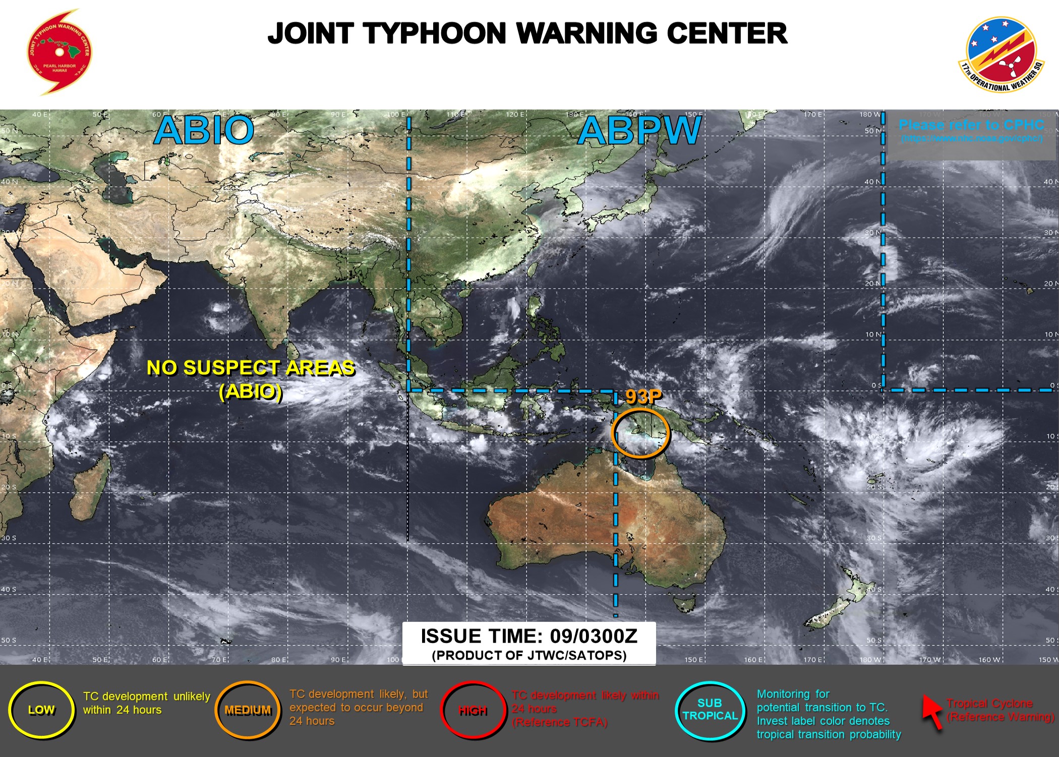
Joint Typhoon Warning System TC Watch Graphics
(Click on image to enlarge)


Latest
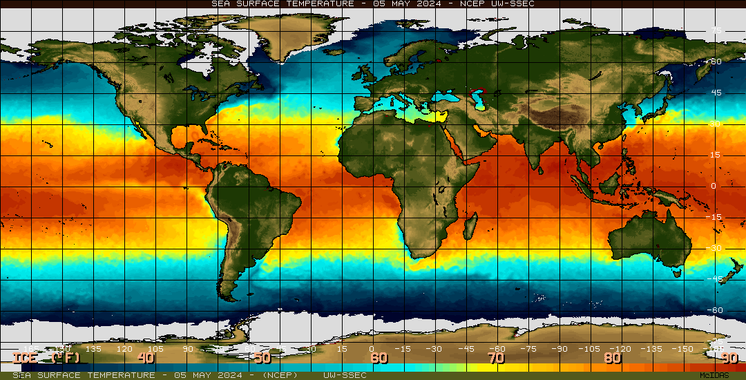
Sea Surface Temperatures worldwide
[Source: Space Science and Engineering
Center, UWisc-Madison]
The warmer waters
produce increased conversion of sea water into water
vapor (by way of evaporation into the atmosphere). The
air near the ocean surface becomes very moist. Passing
disturbances moving east to west (in the Northern
Hemisphere) lift the lower atmospheric air (and the
water vapor in it). As the air is lifted, it cools, and
vast amounts of energy (heat) is released by
condensation of te water vapor back into liquid water.
If conditions in the middle and upper atmosphere are
"right", a low pressure area will form at the surface
and a tropical disturbance (precursor of the tropical
cyclone) may form.
Category One Hurricane:
Winds 74-95 mph (64-82 kt or 119-153 km/hr).
Storm surge generally 4-5 ft above normal. No real damage to
building structures. Damage primarily to unanchored mobile
homes, shrubbery, and trees. Some damage to poorly constructed
signs.
Category Two Hurricane:
Winds 96-110 mph (83-95 kt or 154-177 km/hr).
Storm surge generally 6-8 feet above normal. Some roofing
material, door, and window damage of buildings. Considerable
damage to shrubbery and trees with some trees blown down.
Considerable damage to mobile homes, poorly constructed signs,
and piers.
Category Three Hurricane:
Winds 111-130 mph (96-113 kt or 178-209
km/hr). Storm surge generally 9-12 ft above normal. Some
structural damage to small residences and utility buildings with
a minor amount of curtainwall failures. Damage to shrubbery and
trees with foliage blown off trees and large trees blown down.
Mobile homes and poorly constructed signs are destroyed.
Category Four Hurricane:
Winds 131-155 mph (114-135 kt or 210-249
km/hr). Storm surge generally 13-18 ft above normal. More
extensive curtainwall failures with some complete roof structure
failures on small residences. Shrubs, trees, and all signs are
blown down. Complete destruction of mobile homes. Extensive
damage to doors and windows.
Category Five Hurricane:
Winds greater than 155 mph (135 kt or 249 km/hr). Storm surge
generally greater than 18 ft above normal. Complete roof
failure on many residences and industrial buildings. Some
complete building failures with small utility buildings blown
over or away. All shrubs, trees, and signs blown down.
Complete destruction of mobile homes. Severe and extensive
window and door damage.